
 |
| If I knew where I was going I never would have made it here. |
Imagine for a moment, a mountain biking trail that runs up the Mt. Washington auto road in New Hampshire , across the Presidential ridge and then winds slowly down into the Gulf of Slides, crossing various spines and ravines all the way down to Pinkham Notch: a four thousand foot, eleven mile descent on
pure singletrack.
This is roughly equivalent to what is lurking in theLaguna
Mountains California .
This is roughly equivalent to what is lurking in the
As I pulled off the highway and drove into Pine
Valley , California San
Diego were mostly wrong. Although I had pictured the steep hills and
deep canyons, I had also pictured dusty sagebrush and cacti: basically your
typical scene from a Wiley Coyote cartoon.
While there was plenty of roadrunner terrain, I was also surprised to
find grassy meadows, pine glens and tree filled canyons. And although the temperatures in San
Diego were in the seventies, at Pine Valley's elevation, it was a cool forty five degrees.
 |
| .... and climbing... and climbing... |
Now this is the part of the story where I’m supposed to tell
you that I had planned to do the Big Laguna to Noble
Canyon
I had originally planned to just ride the Noble
Canyon Cleveland National
Forest
 |
| Finally. Singletrack. |
Fortunately for me, the Sunrise Highway runs in a large
semi-circle on the ridges above Pine Valley
As I stared at the large trailhead map, I realized I was on the wrong
part of the ridge and I had a decision to make if I wanted to go down the
Noble Canyon Noble Canyon
 |
| Los Chicos Trail |
 |
| Starting the descent. |
Soon, I was on the Big Laguna trail, which wound around a large meadow and lake. This trail was well marked, showing at each junction the correct direction
for reaching Noble Canyon Noble Canyon high point
of my journey.
Noble presented unparalleled variety. From buff singletrack to riverbed quality
rock gardens I was alternately relaxed and flowing with the trial to
desperately gripping the handlebars and fearing for my life.
Starting in the high alpine forest, the trail wound its way
along the brushy spines and down into forested canyons, only to emerge onto
another exposed ridge. Spine after
spine, and canyon after canyon passed by as I headed back down toward Pine
Valley
 |
| Lean into the hill. Or else. |
Slowly the brush changed and the cacti, rock and dust filled
terrain I had expected appeared as I approached the valley floor.
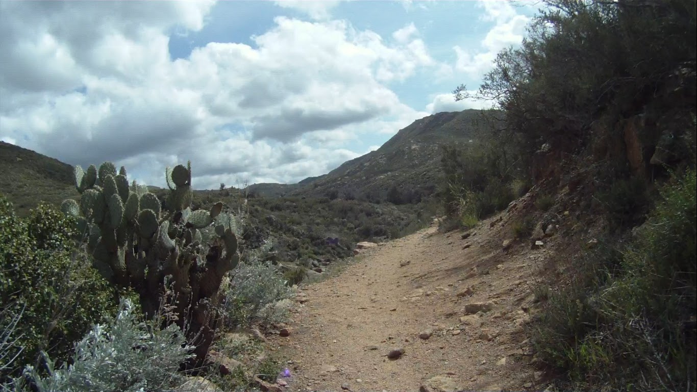 |
Wiley Coyote territory. |
Here's the video of the full tour:
Those trails look FUN and a bit treacherous at times. Nice ending to the first video. :)
ReplyDeleteWe did a similar ride 20 years ago. We wanted to do big Laguna and Noble and thought by taking Sunrise highway it would be easier than climbing Pine valley road. We were in decent shape for maybe a three hour ride. Surprise! By the time we made to the last bail out point after the first two loops on Noble we were torched. Can't quit now, I'd lived in SD for a year and never done the famous Noble canyon and what is more we had done it the hard way climbing up and not doing a shuttle! What a death march. We rode the most technical part totally bonked only to be greeted by the sandy uphill at the end. We reached the car after I think 5 hours, just totally done. I think it was 28 miles with like 3000' of vertical. Hardest thing I ever did on a mountain bike.
DeleteYeah that sandy uphill at about the 24 mile mark really messed with my mind. I wasn't expecting it at all. I can't imagine what hitting that last section at the end of a long day would have been like if it had been even 10 degrees warmer. Kudos to you for finishing. Shuttles are for astronauts.
Delete